Brushy Fork Nature Preserve
Welcome to the information page on the Brushy Fork Nature Preserve. This project is a collaboration between The Kenton Conservancy and the Banklick Watershed Council. The goal of the project is to protect a beautiful natural area along the Brushy Fork Creek that contains old-growth forests, a wetland, and over a mile of creek.
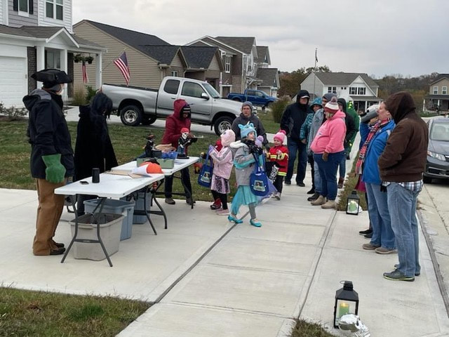
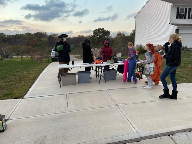
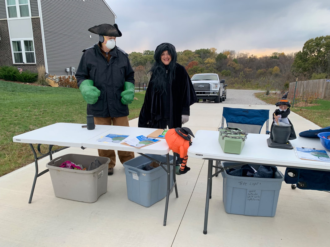
Happy Halloween!
It was a cold COLD evening, but a huge thanks to Kathy, Jared and Anita for hosting a Halloween table for the neighborhood kids!
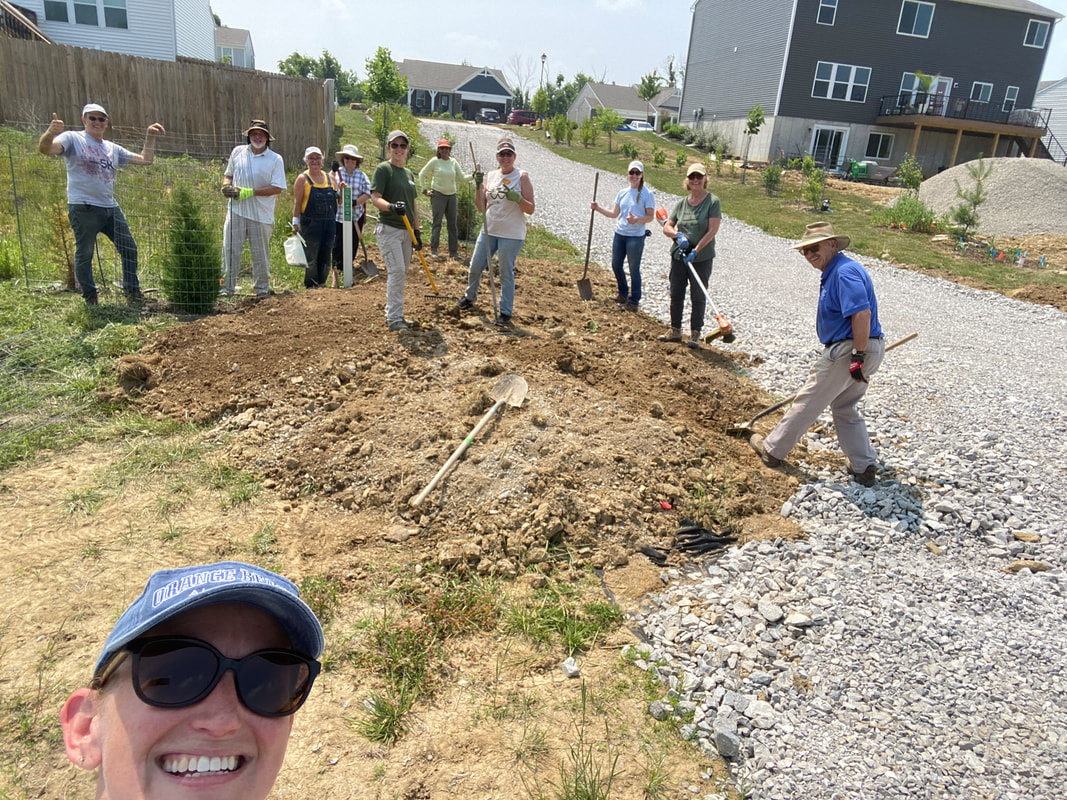
2023 Work Parties @ Brushy Fork
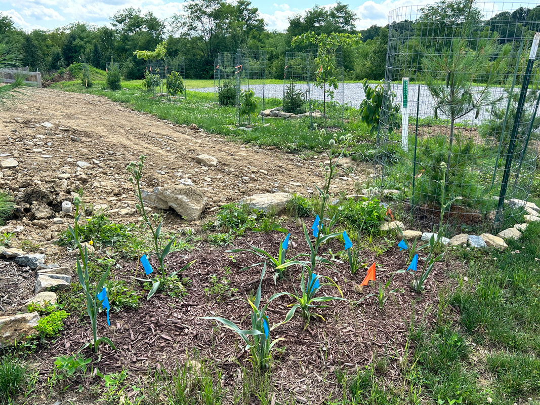
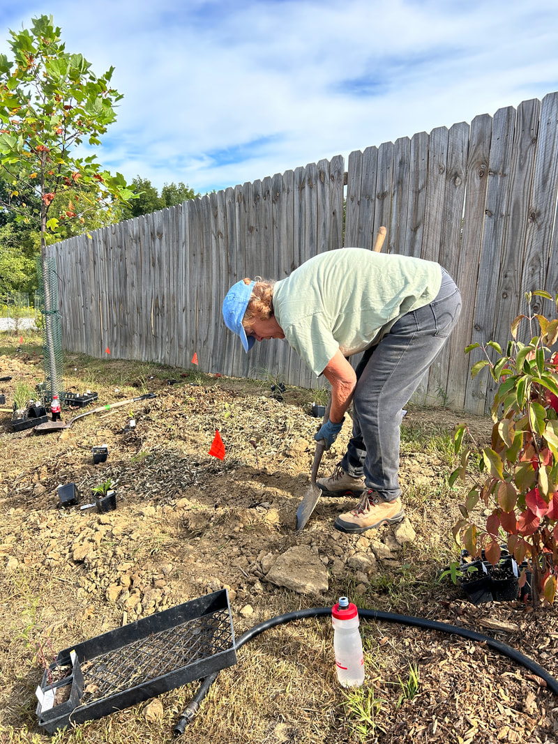
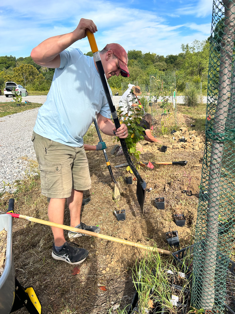
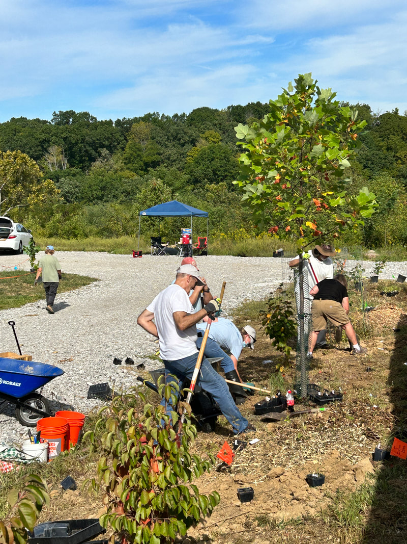
We are blessed with amazing volunteers who joined us the 3rd Saturday of each month to battle the weeds, care for the trees, and install more native plants at the entryway. To see our work visit our news blog page.
Project Update Picts - Spring 2023
About the project
What might have been...
The original 2004 development plan called for most of area to be leveled and turned into a subdivision. Had that plan been completed, there would have been an additional ~100 homes off the back of Canberra Drive.
The 2014/2019 purchases of the property ensures that all 104 acres around Canberra Ridge will remain as green space in perpetuity. The comparison maps below show the original neighborhood layout compared to the revised plan.
Planned ImprovementsWhile a vast majority of the site will remain in its natural condition, we realized the need to create an easier public access. We worked with the land developer, who agreed to an access easement between the new homes, making it possible to install a trailhead and trail connector down to the valley. We named the trailhead area the Access 'Hub'.
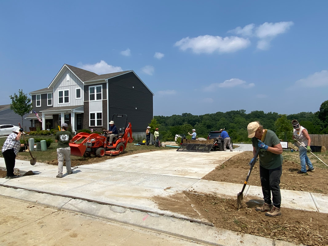
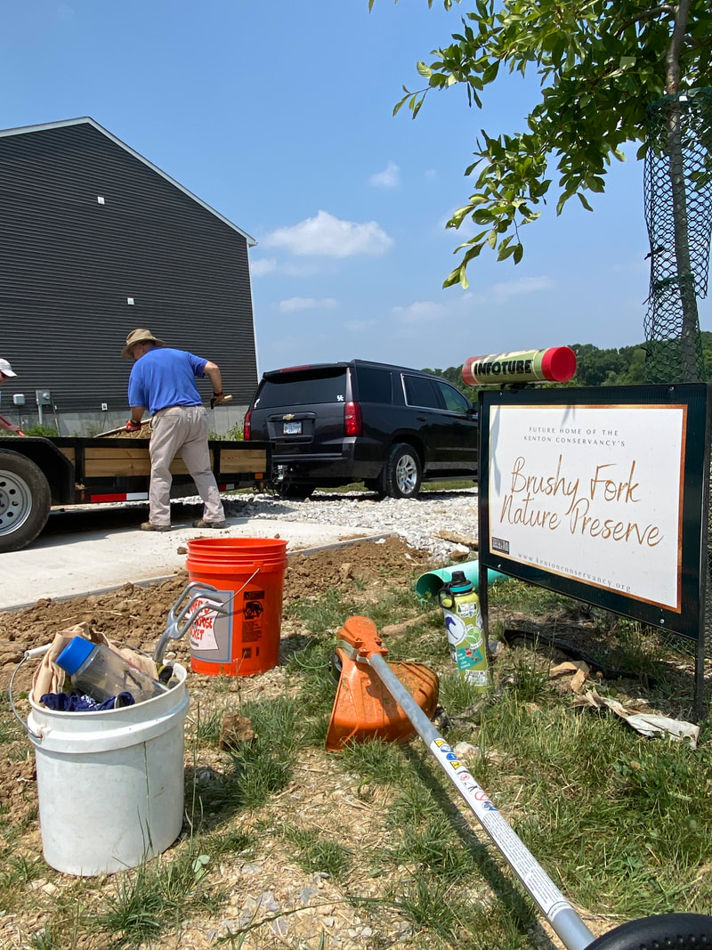
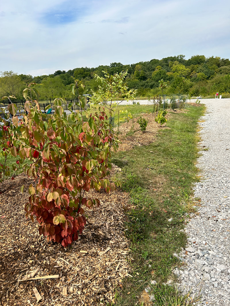
2023 update: Progress on the entryway is progressing thanks to a handful of dedicated volunteers and some assistance from the Kenton County Master Gardeners. The first priority was installing a driveway and surrounding trees, shrubs, and native wildflowers. Goals for 2024 include some of the remaining hardscapes:
Future OptionsOur March 2020 zoning application required that we submit our vision for the ultimate build-out conditions for the property. While we don't have the funding or the need to construct any of these elements in the near-term, we left space for the possible future addition of:
|
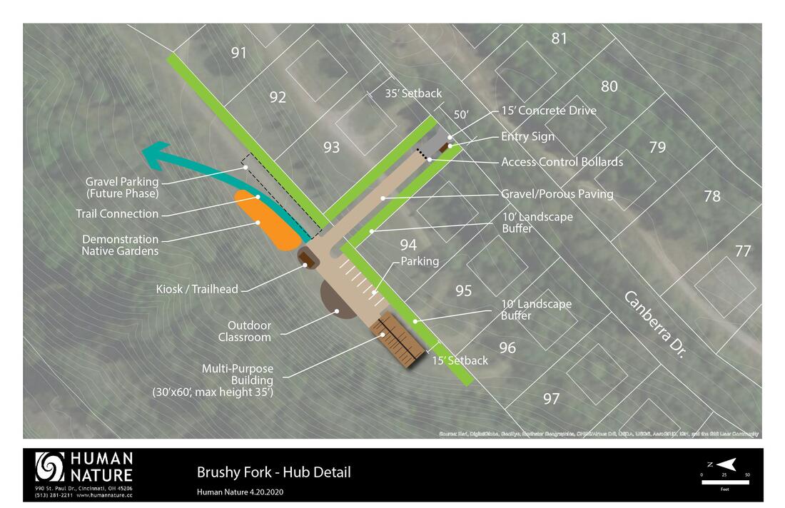
Layout for proposed Access 'Hub' off Canberra Dr. (See below for enlarged version)
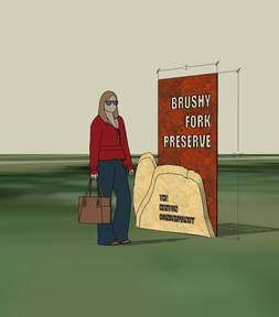
Concept Sketch of a Steel and Native Rock Entry Sign. (Illustrative Purposes Only)
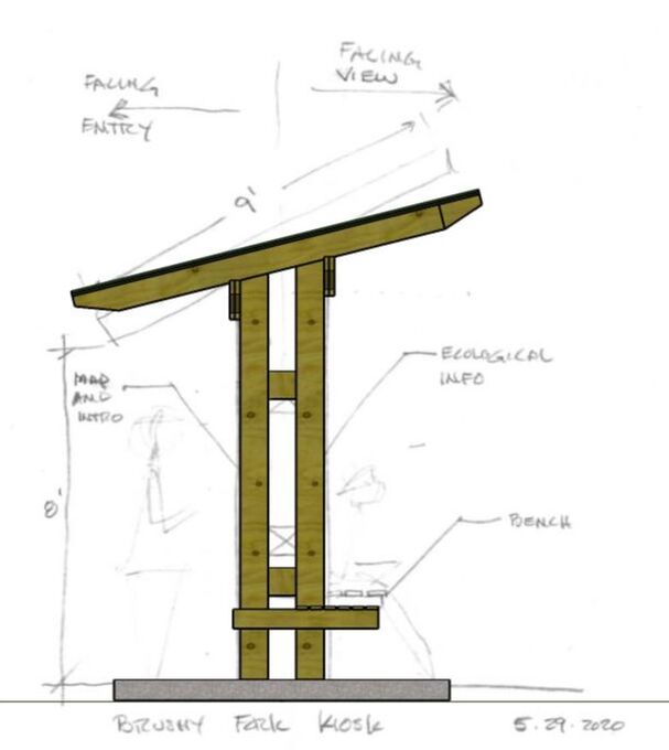
Concept Sketch of Kiosk.
(Illustrative Purposes Only)
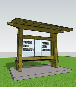
Concept Design of Kiosk. (For Illustrative Purposes Only).
|
Maps
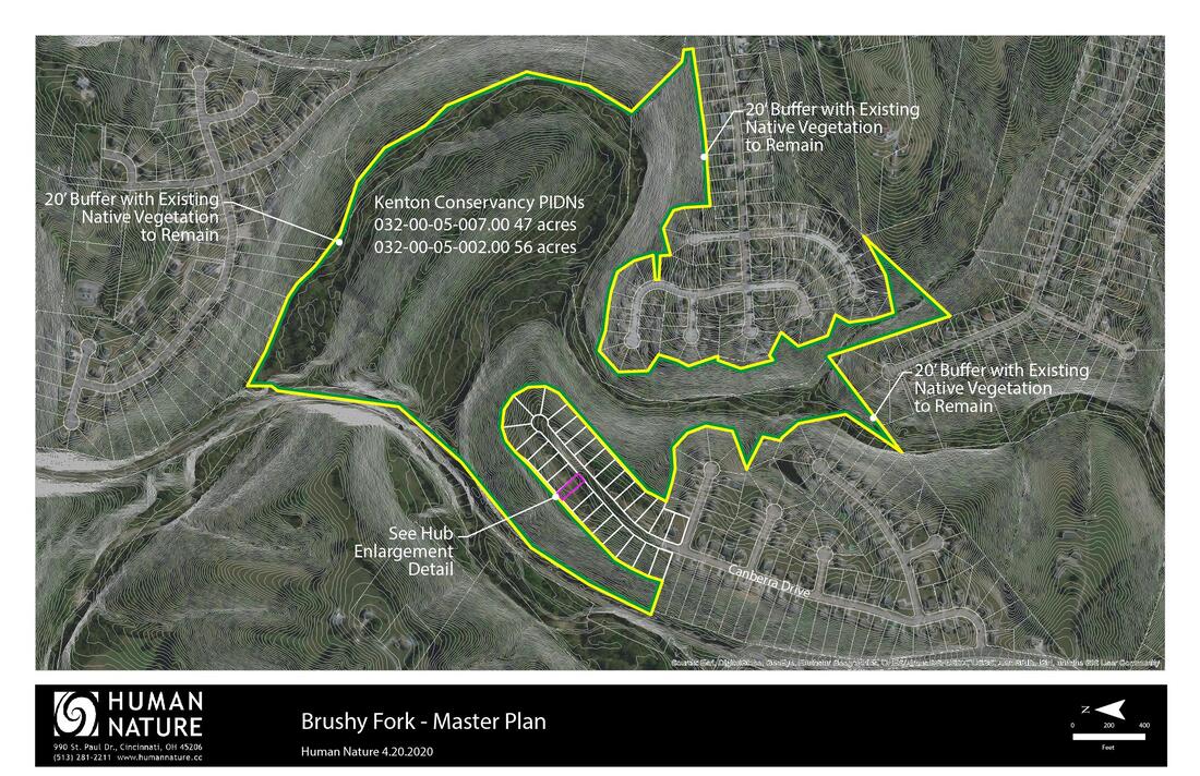
Map of the entire Brushy Fork Nature Preserve showing property line (yellow) and the areas where vegetation buffer (green) is required by zoning. We are proposing leaving the existing vegetation as-is to fulfill this buffer requirement.
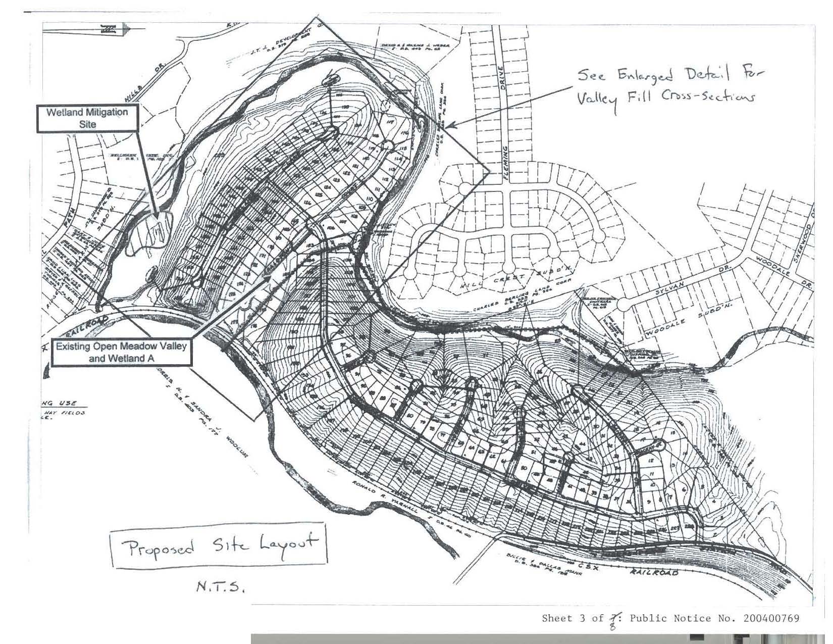
The original 2004 development plan for Canberra Ridge
|

Proposed layout of the public access 'Hub' off Canberra Drive. The first 35' of driveway will be paved so that it looks the same and blends in with surrounding residences. The drive will then transition to gravel.
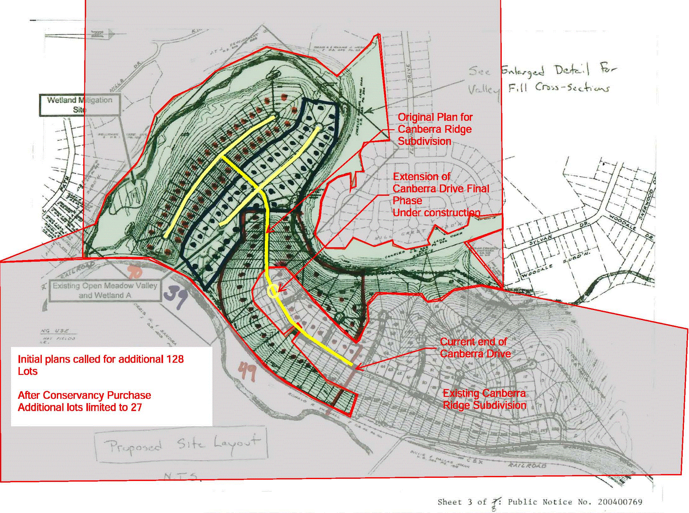
The 2019 agreement reached with the developer will only add 27 of the planned 128 homes, leaving the remainder of the land for greenspace.
|
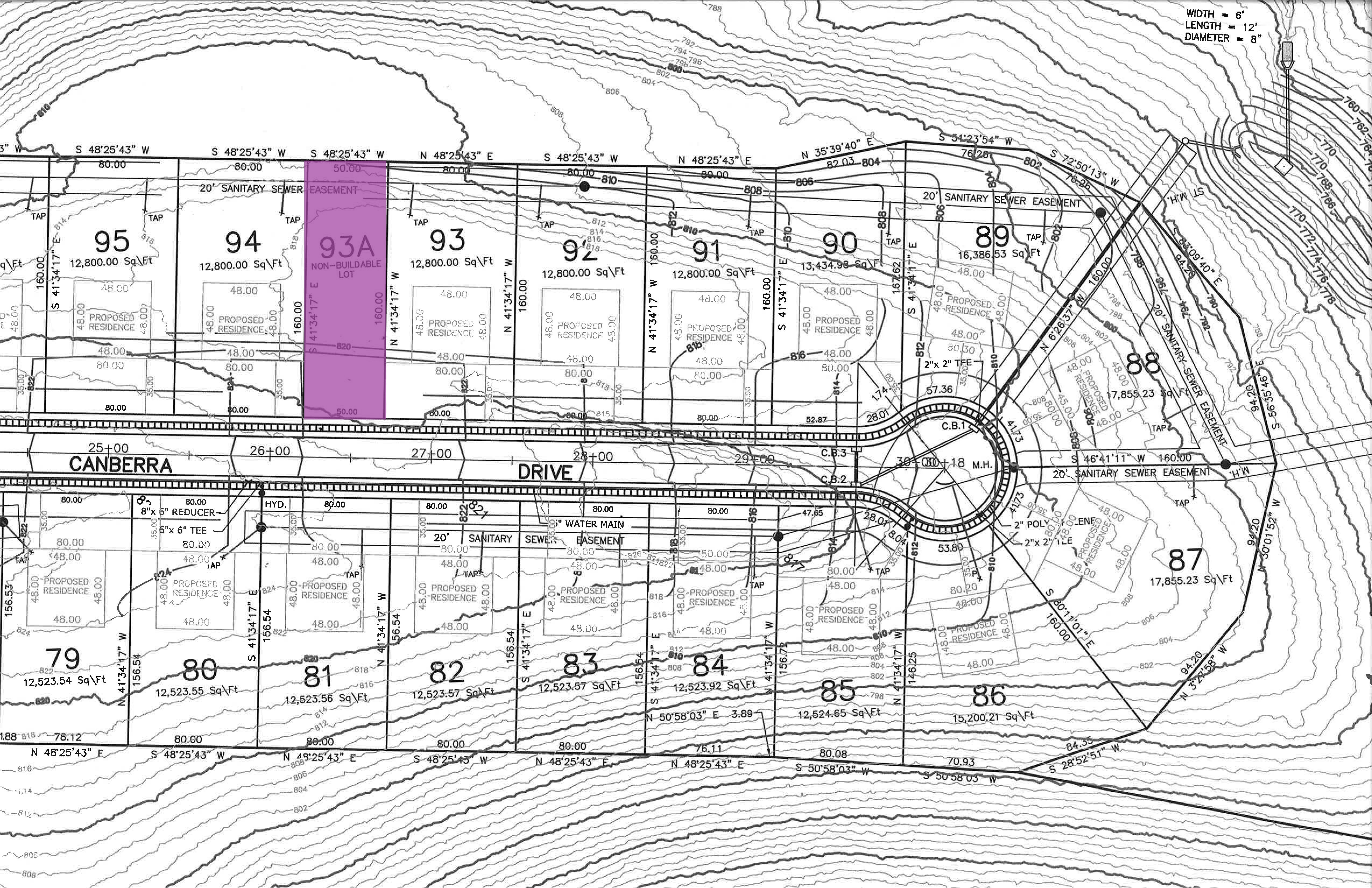
The development plan for the end of Canberra Drive, showing The Conservancy's new access parcel (lot 93A). The current access parcel near Hobart will be transferred back to the developer.
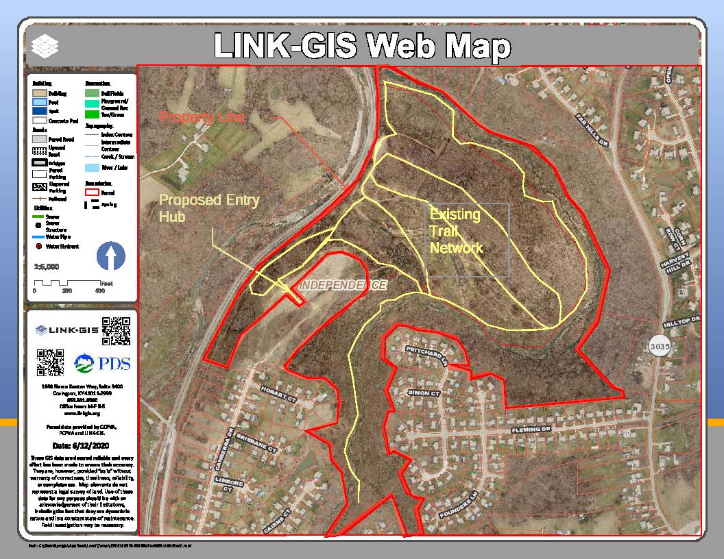
Map of the existing trail network that will be preserved and linked to the Access 'Hub'.
|
